
 West Kentucky Star
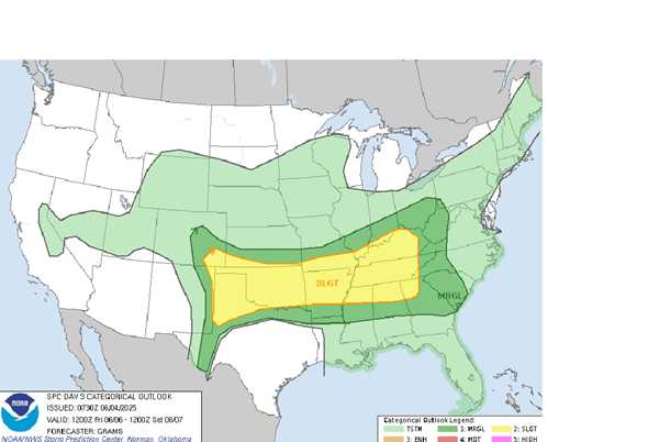
The National Weather Service in Paducah says we're heading into a 3-day period of low-end severe potential today through Friday for parts of the area.
The best thunderstorm coverage tonight is forecast to be over southeast Missouri and northwest southern Illinois. If conditions are just right a severe thunderstorm or two with wind looks possible.
The same stray severe thunderstorm chance is true for Thursday, then on Friday there'll be a slightly better, but still only level 1 of 5 threat of severe storms.
Rainfall could be heavy with any storms -- about an inch or two total for the week -- but it looks generally like things will be spread out enough to avoid issues. Cloudy conditions will help to keep down the chances for the weather to get rough.
Lingering slight chances of a thunder

 AlterNet
 IMDb TV
 ESPN Video
 The Wrap video
 The Telegraph
 MSNBC Video