
 The Oklahoman
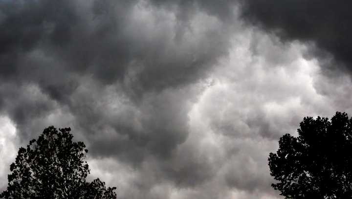
After Tuesday's storms brought at least one tornado and a range of hail damage to Oklahoma, the state could face another bout of severe storms tonight that could result in large hail, damaging winds, and potentially tornadoes.
According to the National Weather Service, the risk of storms should start Thursday night after 9 p.m. and continue into Friday morning, with the areas expecting the highest risk of severe weather in the northern and central parts of the state.
The potential for tornadoes is low, but hail could reach golf ball or baseball size, and winds could top 70-80 mph.
On Friday, much of the state should see a slight risk for severe weather, with golf ball to baseball size hail and 70 mph winds possible, and a low risk of tornadoes.
➤ Weather alerts via text : Sign

 KFOR
KFOR News on 6
 Reuters US Top
 The Jerusalem Post
 New York Post