
 WAAY TV
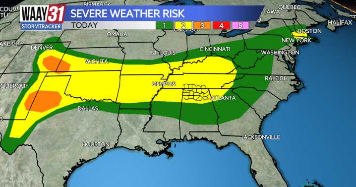
Things are calm in the Tennessee Valley now but starting tonight, we have back-to-back-to-back days of severe weather threats.
Friday: Level 2/5 severe weather risk for 50-60 mph winds and large hail possible.
Saturday: Level 2/5 severe weather risk for 50-60 mph winds and large hail possible.
Sunday: Level 1/5 severe weather risk for gusty winds.
Friday will stay dry until late afternoon when hit or miss, non-severe, rain develops and lasts through dinnertime. Starting around bedtime in the Shoals a round of strong and potentially severe thunderstorms will develop and gradually track east not exit the area until the wee-hours of the morning on Saturday.
Saturday will stay dry for breakfast time with scattered rain and storms developing shortly before lunchtime and lasting, on-again,

 NBC News
 Wheeling Intelligencer
 New York Post