
 Gazette
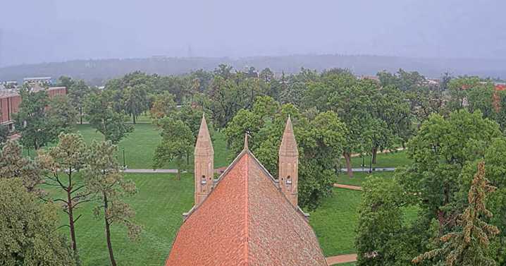
Another round of heavy rain is expected across the Pikes Peak Region Tuesday, with temperatures remaining unseasonably cool for this time of the year.
Slow-moving storms could bring flash flooding to already saturated areas, especially along the Front Range and Interstate 25 corridor, according to Gazette news partner KOAA. Temperatures will stay into the 60s and 70s, with overnight lows dropping to the 40s and 50s.
Showers and storms will initially develop along the higher terrain before pushing across the valleys and plains by mid-to-late evening, according to the National Weather Service in Pueblo. The primary hazards are winds up to 40 mph and lightning.
"You do not want to forget the umbrella and the rain jacket," said KOAA Meteorologist Alan Rose.
Headed into Wednesday, the chanc

 Denver7 News
 KKTV 11 News
 KUOW Public Radio
 Colorado Springs Gazette
 The Denver Post Public Safety
 KSL NewsRadio
 Mediaite
 The Daily Beast
 Raw Story
 Psychology Today