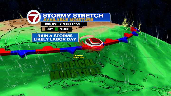
Rain chances are on the rise as tropical moisture gets trapped across Florida while a stalled front slowly sinks farther south. As of Friday afternoon, the front remains over the Gulf Coast and northern Florida, but it will continue to get closer to South Florida over the course of the next few days.
Steering winds will also be out of the west through much of next week, which will help direct the afternoon storms toward Miami-Dade and Broward Counties.
For the rest of our Friday, expect scattered to numerous showers and storms, with the highest risk being during the 3PM-9PM time frame. Isolated strong storms and flooding will be possible in spots.
Then heading into the Labor Day weekend, those rain chances will ramp up some more, reaching the 70-80% range. If there is some bit of good n

 WSVN 7 News

 Gainesville Sun
 The Washington Post
 FOX 5 Atlanta Crime
 Orlando Sentinel Sports
 CNN
CNN FOX 32 Chicago
 Corpus Christi Caller-Times
 Orlando Sentinel
 AccuWeather Severe Weather
 OK Magazine