
 WAAY TV
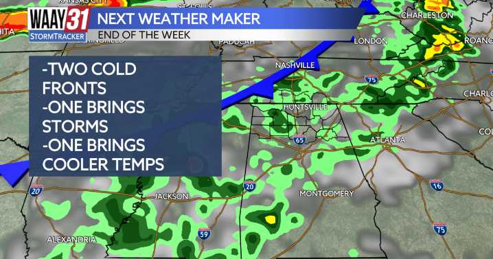
A few areas of isolated rain will continue over the next few hours, as the sun sets this evening rain chances will drop off. Overnight lows will drop into the middle 60s. Once you head out the door in the morning areas of patchy fog will be possible so keep that in mind.
Temperatures will remain on the cooler side tomorrow, with another chance for isolated to scattered showers. However, unlike today, the rain will be less widespread and more hit-or-miss.
By Thursday, temperatures will climb into the upper 80s, with another chance for showers and thunderstorms ahead of a cold front. The SPC has placed the northern half of the area under a marginal risk (level one) chance for strong to severe storms as this front moves in.
This front will be a slow mover and eventually will stall out over

 The Washington Post
 The Oregonian Public Safety
 Gainesville Sun
 WCBI-TV
 El Paso Times
 WTOP
WTOP FOX 11 Riverside County
 Daily Kos