
 Redlands Daily Facts News
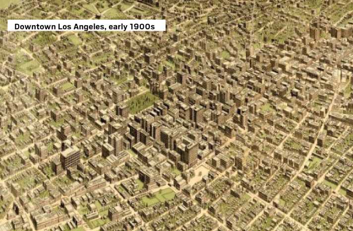
The way we were
Today we look at panoramic maps that are in the Library of Congress’s archives.
The panoramic map was a popular cartographic form used to depict U.S. and Canadian cities and towns during the late 19th and early 20th centuries. Known also as bird’s-eye views, perspective maps are non photographic representations of cities portrayed as if viewed from above at an oblique angle. Although not generally drawn to scale, they show street patterns, individual buildings and major landscape features in perspective.
To see more cities in the U.S. and Canada, search Library of Congress panoramic maps .
Sources: Library of Congress

 Raw Story
 Law & Crime
 TIME
TIME Bozeman Daily Chronicle Sports
 The Daily Beast
 Tom's Guide
 Atlanta Black Star Entertainment
 The Daily Mining Gazette
 People Crime
 ABC30 Fresno Sports