
 New York Post
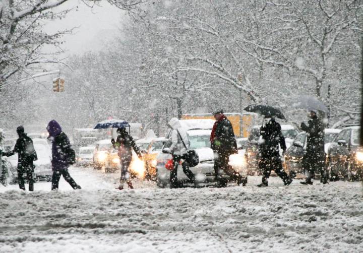
Next week’s pre-winter arctic plunge might be a sign of things to come for the Eastern U.S., as several key weather patterns will converge to bring early bone-chilling cold and potentially more snowstorms to the region.
According to the FOX Forecast Center, two weather patterns, La Niña and an easterly Quasi-Biennial Oscillation, will allow more rounds of arctic air that is typically trapped high above the North Pole to spill into the lower levels of the atmosphere and south into the Eastern U.S.
This frigid air is known as the “Polar Vortex.”
Air in the polar vortex sits in the stratosphere, some 10 to 30 miles above the Earth’s poles and intensifies during the winter, when a lack of sunlight cools air at this height to below -70 degrees Celcius.
The polar vortex typically remains l

 LEX 18 News
 WCNC Charlotte Weather
 Fox 11 Los Angeles Sports
 Dickson County Source
 KSNB Local4 Central Nebraska
 WTVM News Leader 9
 KRIS 6 News Weather
 KETV NewsWatch 7
 KOLO8
KOLO8 Detroit Free Press
 The Daily Beast