
 WWSB
WWSB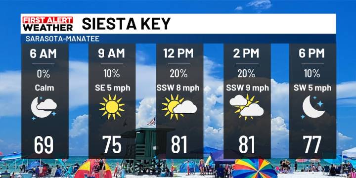
SARASOTA, Fla. (WWSB) - Highs stay in the 80s this weekend with dew points near 70° for a touch of humidity. The higher humidity could lead to some patchy fog in the morning. Then a powerful cold front moves across Florida Sunday night. There is no significant moisture with this front, but an isolated shower is possible. The cold and dry air behind this front is what you will remember next week. Monday and Tuesday are First Alert Weather Days for the cold and windy conditions.
Saturday is a mostly sunny day and Sunday brings a few more clouds. Winds turn to the North Monday, gusting to 20-30 mph. Temps could fall during the day Monday. Our coldest time is Tuesday with morning lows in the lower 40s and highs in the low 60s. These temperatures are near 20° below average. Wednesday morning a

 FOX 4 News Arlington
 CBS News Crime
 Orlando Sentinel
 FOX 13 Tampa Bay Crime
 WCTV
WCTV New York Post
 Mediaite
 Star Beacon
 People Human Interest