
 News Channel 36
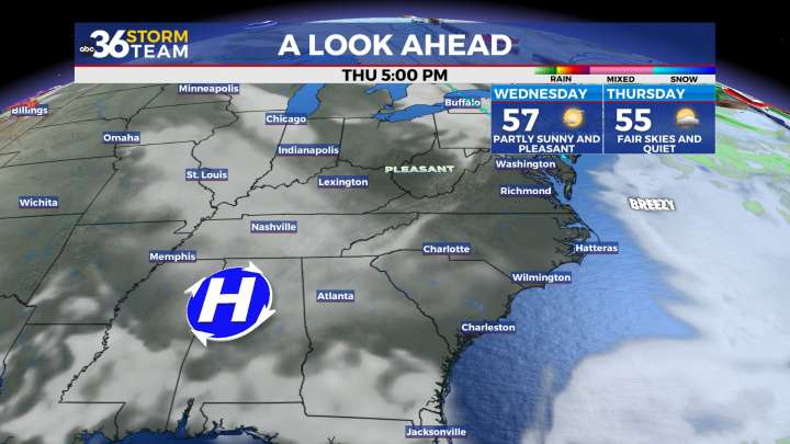
Highs will be back in the 60s by the end of the week We saw an early taste of the winter season across Central and Eastern Kentucky to begin the week on Monday with snow showers and squalls around the area thanks to an upper level system overhead and cold enough air to support frozen precipitation. This activity was scattered but localized areas saw heavier snow bursts and enough for some light accumulations and low end impacts. This was basically the equivalent of the convective, “pop-up” storms we see during the summer months with the activity being pretty scattered, yet intense in some spots. It was definitely a cold day even for early November with highs struggling into the low to mid-30s and breezy conditions putting our wind chills down into the low 20s.
The upper level system will

 FOX 51 Gainesville Crime
 Battle Creek Enquirer
 Eyewitness News 3
 WFMJ-TV Politics
 West Kentucky Star
 AccuWeather Severe Weather
 Akron Beacon Journal
 Daily Voice
 WCNC Charlotte Weather
 AlterNet