
 WEVV 44News
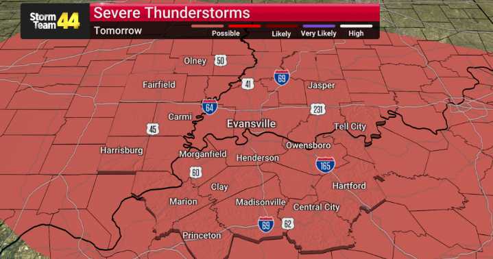
We've got a significant weather pattern change on the horizon here in the Tri-State area, and we'll be monitoring it closely.
Starting tomorrow, Tuesday, we're looking at a noticeable warm-up that will push temperatures well above average for this time of year and linger through Friday. However, this incoming warmth is also bringing a threat for unsettled weather, including the potential for severe thunderstorms.
Our modeling indicates the first round of stronger storms will move in Tuesday morning, bringing a marginal risk of severe weather. The main concerns during this initial wave will be gusty winds and hail, both small and large.
As we move into Tuesday afternoon and evening, the storm threat is expected to escalate. We're looking at a greater risk for severe conditions, with larg

 AccuWeather Severe Weather
 FOX 26 Harris County
 CBS Los Angeles
 The Advocate
 KPTV Fox 12 Oregon
 WNNY-TV
 WKYT
WKYT WABI
WABI 23ABC News Bakersfield
 FOX19 NOW