
 Denver7 News
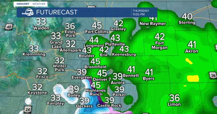
DENVER — We're in for a quiet night ahead, staying mostly dry and mild. The waiting game begins as the next system approaches Colorado.
Clouds increase throughout Thursday with cooler afternoon highs in the low 50s.
A complex storm arrives, and with models disagreeing on the details, confidence remains low for snowfall in the metro.
Expect rain to move in first. Pockets of rain and snow are possible later, mainly across higher terrain and areas farther east. Rain returns Thursday; snow stays mostly in the higher terrain
On Friday morning, rain will continue for most of the metro and plains.
However, the Front Range mountains, foothills, and the Palmer Divide could see snow accumulation.
Precipitation should taper off Friday afternoon as the system weakens and moves east.
Heading in

 Associated Press US News
 The Fashion Spot
 Raw Story
 AlterNet