
 WLFI News 18
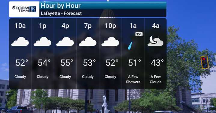
We're starting off today, Tuesday, with some damp weather, featuring rain showers early this morning that are expected to taper off to just drizzle by midday. We will be monitoring this system as it brings noticeable humidity and milder temperatures, with highs expected to reach into the mid-to-upper 50s, and perhaps even near 60F in some of our southern viewing areas.
Beginning Wednesday and lasting through this weekend, we are going to feel a substantial drop in temperatures. We'll see strong winds developing behind a cold front, with gusts potentially reaching up to 45 mph, especially in our northern counties.
Temperatures during the day on Wednesday will fall, and wind chills will likely be felt in the 20s, making it feel significantly colder. Thanksgiving Day will remain cold, likel

 Newsweek Top
 Daily Voice
 Petoskey News-Review
 Associated Press US and World News Video
 WISC-TV Channel 3000
 Raw Story