
 Idaho News 6
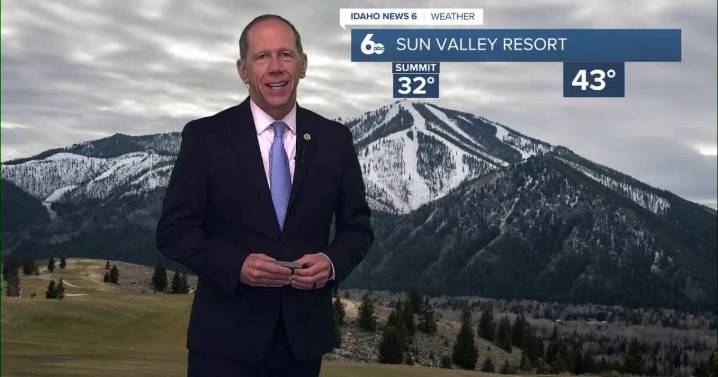
An upper-level low in the north Pacific and its associated fronts are driving weather patterns across Idaho and eastern Oregon, bringing a mix of conditions through the holiday weekend.
Tonight Through Thursday Morning: Warm Front Departure
A warm front will continue moving northeastward out of the area tonight through Thursday morning. Precipitation chances along and behind the front are 40 to 60%, located mostly in southwest-central Idaho and northeast Oregon high terrain.
As the warm front has already moved through most of the area, snow levels are rising to 6,000 to 8,000 feet in the warmer air mass. This will prevent much of the area from seeing further snow accumulation, though ridges in the west-central and Boise mountains could see light accumulation. Up to 0.1 inches of rainfal

 The Oregonian Public Safety
 The Des Moines Register
 WCTV
WCTV WVLT
WVLT KTIV News 4
 KSNB Local4 Central Nebraska
 AccuWeather Severe Weather
 WIS News 10
 WCBI-TV
 Daily Voice
 What's on Netflix