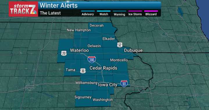
A major winter storm continues across Eastern Iowa today, bringing periods of heavy snow and rapidly accumulating totals. Snowfall will persist through much of the day before tapering this evening. Storm totals of 8–12 inches are widespread, with pockets exceeding one foot where snowfall bands persist longest.
As snow piles up, winds strengthen late today into tonight — a combination that will produce blowing and drifting snow, especially in open, rural areas. Roads may drift shut, visibility may drop quickly, and travel will remain hazardous even after new snowfall ends. Clean-up efforts will likely extend into Sunday.
Colder air follows immediately behind the storm. Temperatures fall sharply Sunday with wind chills near or below zero, reminding us we are firmly in winter territory. Ear

 KWWL
KWWL

 Local News in Illinois
 Daily Voice
 Associated Press US News
 WISC-TV Channel 3000
 NECN Providence
 The Bay City Times
 NBC4 Washington
 21Alive News
 New York Post