
 Birmingham Live News
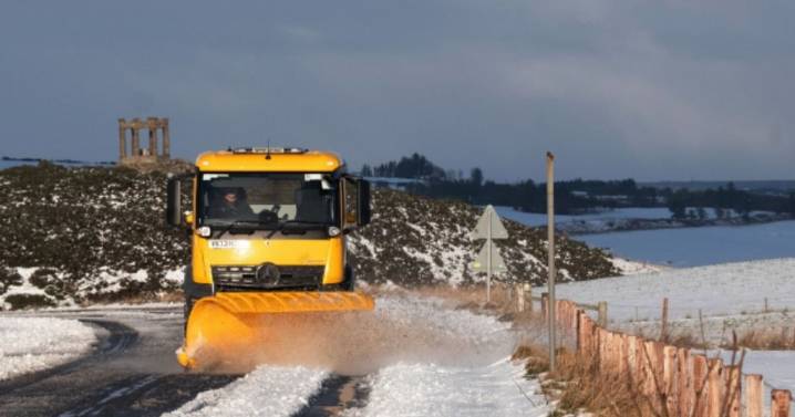
View Image
The UK faces a wall of snow colliding into England AND Scotland - across two days - next week. Maps and charts, based on the GFS model, show the UK faces snow and freezing temperatures on around December 9 and 10.
Maps and charts compiled and projected using Met Desk data, on WX Charts, show a wall of snow from Scotland to northern England, with temperatures plunging to -2C - a whopping 9C lower than the average of 7C for this time of year.
Snow will be falling at around 5mm/hr, with areas at risk including the north west, north east and northern Midlands in England. Snow will hit on December 9 into December 10, with flurries in the Pennines in particular.
READ MORE Warning for all UK households who have artificial grass
The Pennines stretch across several counties in North

 Chronicle Live
 Sunday Express
 Birminghalm Mail
 Reuters US Business
 Detroit Free Press
 KSNB Local4 Central Nebraska
 Raw Story
 NFL Seattle Seahawks
 AlterNet
 Bozeman Daily Chronicle Sports
 The Daily Beast
 Oh No They Didn't