
 The Traverse City Record-Eagle
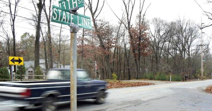
Despite efforts in recent years to gain clarity, the roughly 110-mile state line between Michigan and Indiana remains blurry as ever.
The last official survey of the dividing line between Michiganders and Hoosiers was conducted in 1827, and wooden markers placed by federal surveyors at that time have largely rotted into the pastoral landscape.

 Washington Examiner
  KTAR News 92.3
 Raw Story
 Reuters US Business
 Associated Press US News
 St. Louis Post-Dispatch
 AlterNet