
 WHAS 11
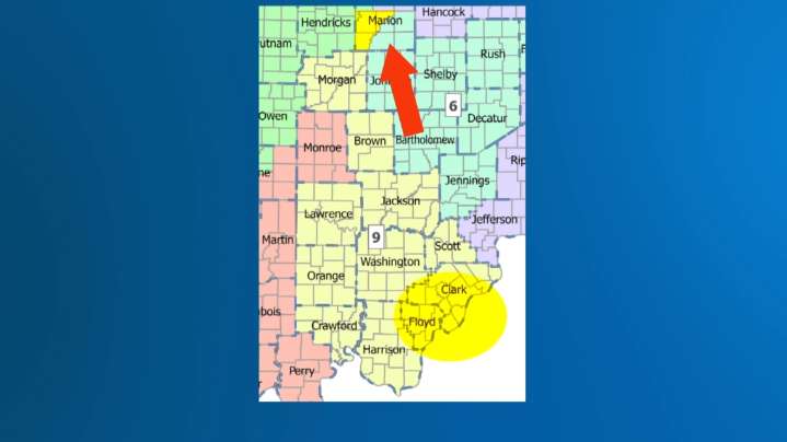
LOUISVILLE, Ky. — Indiana House Republicans have introduced their bill to redraw the state's congressional maps early at President Trump's request. The draft map divides Marion County, where Indianapolis is, into four separate congressional districts. Right now, Marion County is divided into two districts, one of which is a Metro Indianapolis district.
Credit: WTHR, IN Republicans Current Indiana congressional map, left, alongside the proposed new map, right.
"I would expect this in Russia, but that would have been the last place that I thought we would want to emulate," Indiana University political science professor Dr. Marjorie Hershey said about the map on Monday.
Hershey says the map is clearly trying to "crack" the two Democratic strongholds in Indiana: the Chicago suburbs of Nor

 Local News in New Jersey
 Raw Story
 AlterNet
 Associated Press US News
 Reuters US Domestic
 ABC News
 The Daily Beast