
 KOMU 8
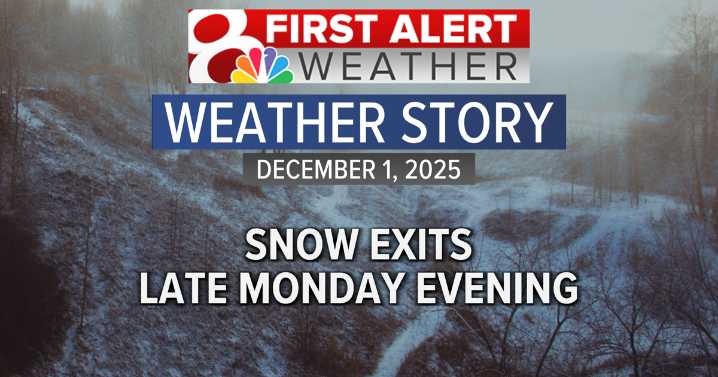
Additional snowfall is expected through the evening hours, but will start to move out by late evening.
This last bit of snow looks to add up to an additional inch for much of the region with up to 2” of snow possible farther east. This is in addition to the 1-3” of snow that fell earlier this morning.
TUESDAY’S FORECAST
Road crews will be hard at work, but mother nature won’t be of much help. Temperatures are expected to fall to the upper 10s overnight with wind chills near 10° by morning. Slick spots will likely continue, especially on side and secondary roads.
Sunshine will slowly start to increase with skies becoming partly sunny for the afternoon. Some light melting will occur, this of course will refreeze overnight.
LOOKING AHEAD
Temperatures will warm up on Wednesday with cloud

 WLWT
WLWT WREX
WREX Local News in New Jersey
 Daily Voice
 New York Post
 KSLA News
 The Conversation
 SpoilerTV