
 WREX
WREX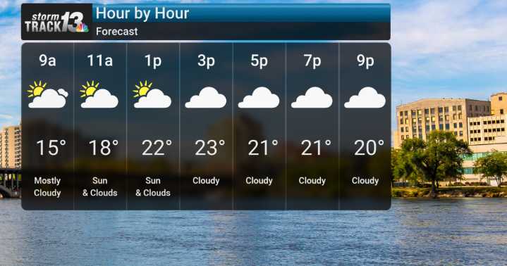
We've already seen some areas of freezing fog early this morning, especially south of I-80. While things are improving slightly as I speak, any patchy freezing will remain on untreated surfaces through mid-morning – so please continue to be cautious if you are out and about. Any light snow that was falling has wrapped up or will be ending soon.
Looking ahead, a system is bringing us more clouds today, with a significant change arriving Wednesday with the passage of a strong cold front that could bring a brief period of light snow, with light accumulations.
The main story, however, is the significantly below-normal temperatures that are poised to settle in by Wednesday night. Thursday and Friday mornings, we could be looking at wind chills ranging from a brutal -10 to -20 degrees Fahrenhe

 Local News in New Jersey
 Daily Voice
 New York Post
 WLWT
WLWT KSLA News
 The Conversation
 WVTM 13 Entertainment
 Raw Story