
 WYMT
WYMT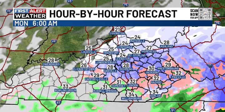
HAZARD, Ky. (WYMT) - This evening’s forecast stays cloudy and cold as we gear up to track changes and the return of a wintry mix on our Sunday forecast.
After a gray and chilly stretch, parts of Kentucky will finally see temperatures climb into the 40s on Sunday - especially across southern counties. Don’t get too comfortable, though. That break in the chill comes just ahead of an arctic front pushing in from the northwest late Sunday into early Monday.
Clouds will hang tough through the day Sunday, keeping things damp and dreary with some spotty drizzle possible. As the front arrives, a few rain showers could briefly mix with sleet or snow before colder air takes over. Early Monday morning, a quick changeover to light snow is expected as temperatures tumble. While snowfall amounts look

 America News
 Entertainment Tonight TV
 AlterNet
 Daily Kos
 Billboard
 The Travel
 The Shaw Local News Sports
 NBC Chicago Sports