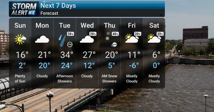
Roads will get slick tonight with more snow beginning this evening. This snowfall is forecast to continue through the overnight hours and wrap up before sunrise on Sunday.
The key message from our forecasters is a substantial snow event for northern Iowa, with accumulations of 5 to 7 inches or even more, while central Iowa will see lesser but still significant amounts. This type of heavy precipitation is not typical for early December and warrants our full attention. We will be monitoring the exact track of this system very closely, as there is still some spread among forecast models regarding the precise location of the heaviest snow band. For areas farther south in Iowa, temperatures will be hovering near or just above freezing, meaning we could see a mix of rain and snow, and there's e

 KWWL
KWWL

 KCCI 8
 Newsweek Top
 KIMT News 3
 WCBI-TV
 WRCB-TV
 Denver7 News
 Click2Houston
 WWSB
WWSB WCNC Charlotte Weather
 WIS News 10
 SIAdvance
 America News