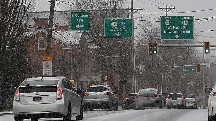
As a first round of snow tapers off across Michigan, weather officials are preparing for another round moving in Tuesday, Dec. 9, into Wednesday, Dec. 10, with most accumulation expected i n the Lower Peninsula.
From 1 p.m. on Tuesday, Dec. 9, through 1 p.m. on Wednesday, Dec. 10, northern areas of the Lower Peninsula and mid-Michigan, including the northern tip of Michigan's Thumb, are expected to see the most snow accumulation, according to the National Weather Service's Probabilistic Precipitation Portal .
Amounts are forecast to range from 3-7 inches. A winter weather advisory is in effect because conditions could create hazardous travel.
For the Upper Peninsula, the 24-hour accumulation is expected to be lighter, ranging from 0.1-4 inches. Southwest areas, and cities near M

 Battle Creek Enquirer

 Lansing State Journal
 Detroit Free Press
 The Oregonian Public Safety
 KOIN News
 KKTV 11 News
 AccuWeather Severe Weather
 Syrancuse.com
 WIS News 10
 ABC 6 WPVI-TV
 KETV NewsWatch 7
 WMTV NBC15
 KOMO News