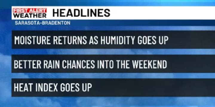
SARASOTA, Fla. ( WWSB ) - A weak stalled front will begin to lift north today as a warm front and stall out over north Florida allowing a southwest wind to develop. With a southwest flow, most of the daily showers and thunderstorms will develop over the eastern half of the state during the afternoon and evening. However the Suncoast will see a few morning showers by noon, followed by that drift of storms inland and toward the other coast.
Through the next several days, the overall trend will be toward summer-like conditions, warm afternoon and high heat indexes. About 30% of the time in summer we see timing of storms similar to what we will see into Friday.
As the weekend approaches, another front begins to move in and combines with the southwest flow already in place. This brings in m

 WWSB
WWSB

 The radio station 99.5 The Apple
 America News
 CBS19 News Crime
 CNN Politics
 The Daily Record Weird News