
 Honolulu Star-Advertiser
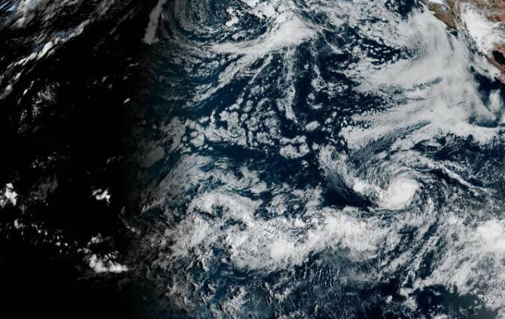
Hurricane Kiko continued strengthening early today far east of Hawaii and is forecast to become a major hurricane by Wednesday night, but forecasters said it remains too early to determine any potential impacts on the islands.
As of 5 a.m. Kiko was located about 1,815 miles east of Hilo, moving west at 6 mph with maximum sustained winds near 85 mph and higher gusts, according to the National Hurricane Center. Forecasters expect Kiko to continue on a general westward track through Wednesday before gradually turning west-northwest later this week.
Hurricane-force winds extend outward up to 15 miles from Kiko’s center and tropical-storm-force winds extend outward up to 60 miles.
Kiko is expected to cross into the Central Pacific basin Friday or Saturday, when forecasters will begin monitor

 CNN
CNN 5 On Your Side Sports
 The Daily Beast
 AlterNet
 RadarOnline