
 WSIL-TV
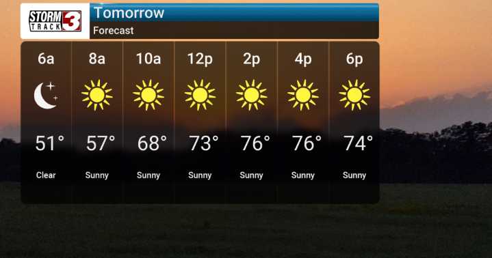
After a cloudier start, with bright skies later, we'll see temperatures rebound into the middle to upper 70s, which is pretty typical for this time of year. Overnight lows tonight will dip into the cooler upper 40s to lower 50s, so don't be surprised by that noticeable drop. Looking ahead, high-pressure builds in, bringing us dry conditions and a slow but steady warm-up. By Monday and Tuesday, we'll be back into the lower to middle 80s. Then, get it's a more notable heat surge as we head into the mid-to-late part of next week, with highs climbing into the upper 80s and even the lower 90s from Wednesday through Friday.
We'll be closely monitoring for any changes, but the forecast is for a decidedly pleasant, but then quite warm, end to the week. We'll also be watching those dry conditions

 Local News in New York
 KSNB Local4 Central Nebraska
 KRIS 6 News Weather
 Arizona's Family
 FOX Weather
 The Washington Post
 New Jersey News
 The Babylon Bee