
 Yahoo Canada
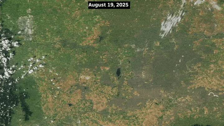
Wind and hail that cut across the southern Alberta prairie last month left a "scar" visible from outer space.
On Aug. 20, 2025, 150-kilometre-per-hour gusts shredded crops and stripped grass and ground cover. The storm slashed from south of Calgary to Saskatchewan, affecting about 425,000 acres of insurable crops, plus pasture and native grassland.
That most intense zone of the storm — a sort of epicentre that dragged for hundreds of kilometres — left behind a "hail scar" that can be seen in satellite images published by U.S. space agency NASA.
[A white-ish band, known as a hail scar, shows the path of a storm on Aug. 20, 2025, that caused millions of dollars in crop damage across southern Alberta in this supplied satellite image taken on Aug. 25. The body of water at centre is Lake New

 NBC News
 TMZ
TMZ ABC 7 Chicago Politics
 WFMJ-TV Entertainment