
 WWSB
WWSB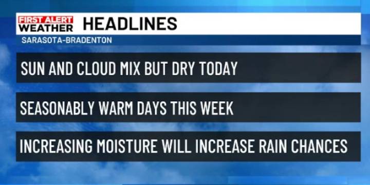
SARASOTA, Fla. (WWSB) - A broad weather system continues to influence Florida and the Southeast. A a surface low spins off the Carolina coast and a front extends south from it, lingering and stalled out just to our south. This setup will keep northeast to east winds in place for the first half of the week. Drier air is filtering into northern and central Florida, limiting rain chances, but enough moisture remains for a few isolated showers across southern Florida.
Locally our temperatures will be seasonably warm, but morning lows will feel comfortable with dewpoints in the lower 70, or even a few upper 60s.
Conditions will remain steady through midweek before tropical moisture begins to return from the Caribbean. By Thursday and into the weekend, rain chances will climb across the state

 FOX 13 Tampa Bay Crime
 WISC-TV Channel 3000
 Florida Today
 WCJB-TV20
 ClickOrlando
 Hartford Courant
 Florida Politics
 First Coast News
 The Hill Politics