
 KBIA
KBIA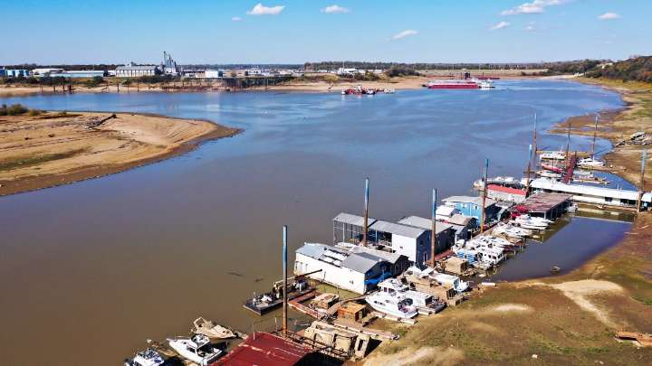
Missouri is almost completely in drought and Iowa is almost drought-free. The top and bottom of the Mississippi River has had high streamflows this month, but about a quarter of gauges throughout the basin show below-normal flow.
That’s according to the new Mississippi River Basin Drought and Water Dashboard.
Dozens of metrics are used to determine drought and that can make it complicated to measure and track. But it’s a bit easier now thanks to the new government dashboard, which tracks drought across the Mississippi River Basin.
“Drought doesn't obey county or state boundary lines,” said Kelsey Eigsti, who co-led the tool’s development out of the Cooperative Institute for Research in Environmental Sciences at the University of Colorado Boulder. “It crosses regions and so being able

 Detroit News
 Lexology
 Nola Business
 KLCC
KLCC New York Post
 KSL 5 TV
 The Newport Daily News
 Spectrum Bay News 9 Technology
 WTOP
WTOP Orlando Sentinel Entertainment