
 The Orange County Register
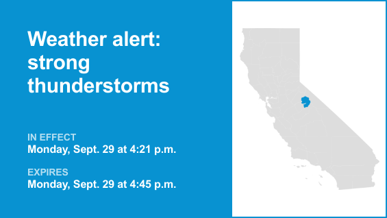
The National Weather Service issued a report at 4:21 p.m. on Monday for strong thunderstorms in effect until 4:45 p.m. for Yosemite.
The storms may bring pea-sized hail (0.25 inches).
“At 4:21 p.m., Doppler radar tracked a strong thunderstorm 13 miles north of Yosemite Valley, or 20 miles southwest of Twin Lakes, moving northeast at 20 mph,” the NWS Hanford CA said. “Minor hail damage to vegetation is possible.”
According to the NWS, “If outdoors, consider seeking shelter inside a building. Torrential rainfall is also occurring with this storm and may lead to localized flooding. Do not drive your vehicle through flooded roadways. Frequent cloud to ground lightning is occurring with this storm. Lightning can strike 10 miles away from a thunderstorm. Seek a safe shelter inside a buildin

 The Oregonian Public Safety
 Press-Enterprise
 The Daily Beast