
 CBS DFW
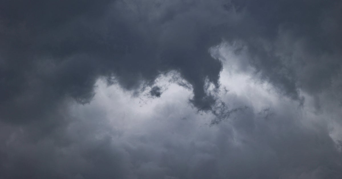
Friday started out damp in North Texas after overnight rainfall, leading to slick early morning commutes for some. Most of the day will be breezy and humid with cloud cover and a few passing showers possible.
A First Alert Weather Day is in effect due to a line of strong thunderstorms and heavy rain will roll into North Texas from Friday evening into Saturday morning, bringing threats of damaging winds, large hail and localized flooding. The tornado threat is low, but not zero.
The storms will reach the western part of North Texas at around 8 p.m., and will hit the Metroplex between 10 p.m. and 1 a.m. Saturday.
Despite only 1.35" of rain this entire fall so far, a flood watch is in place for the Metroplex to the east. The watch runs from 7 p.m. Friday through 1 p.m. Saturday. Most of th

 Associated Press US and World News Video
 News 9 Crime
 Daily Voice
 WWSB
WWSB Ocala Star-Banner
 KPTV Fox 12 Oregon
 WBRC
WBRC New York Post
 WESH 2 News
 KOLR10 News
 America News