
 KPAX
KPAX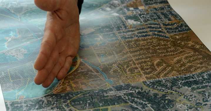
MISSOULA — The Federal Emergency Management Agency has released new draft floodplain maps for Missoula County for the first time in close to five decades.
"Updated topography, new elevations captured by LDAR technology, and an updated hydraulic study," Missoula County Floodplain Administrator Matt Heimel told MTN.
Specifically, areas near Rock Creek, the Clark Fork, and the Bitterroot River saw changes.
"We need updated flood hazard information so everyone understands the risk in our flood-prone areas," Heimel shared.
Flood plains are low-lying areas next to rivers and with development over the years, businesses and homes lie in the floodplain.
An increase in extreme weather events has changed the landscape as well. With that, how water moves across Missoula County has changed too.
“

 FOX News
 News 5 Cleveland Politics
 NBC News
 KSNB Local4 Central Nebraska
 Deadline
 Raw Story