
 Derbyshire Live Health
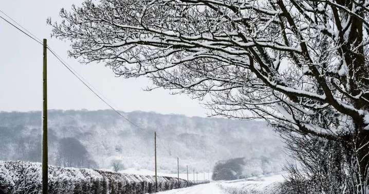
New weather charts have revealed that the UK is set to face a double Atlantic ice blast in the coming days, with 3cm of snow followed by sub-zero temperatures as low as -4C. WXCharts' latest maps indicate that temperatures will begin to fall on Saturday night (October 25), with areas such as the Scottish Highlands and Cumbria's Lake District seeing the mercury drop to 0C.
By Sunday, this chill is expected to spread across the country, accompanied by snow showers which could result in up to 3cm of snowfall in northern Scotland's higher regions. Met Office forecasters have warned that Sunday will start off chilly for most, remaining generally dry, but outbreaks of rain will move in from the north-west as the day progresses.
Lingering showers are expected on Monday morning, before con

 Bristol.Live
 Birmingham Live UK
 Yard Barker Tennis
 RealClear Politics
 The Intercept
 Bozeman Daily Chronicle Sports
 AlterNet
 ABC30 Fresno Sports
 Local News in D.C.
 Detroit Free Press