
 The Bay City Times
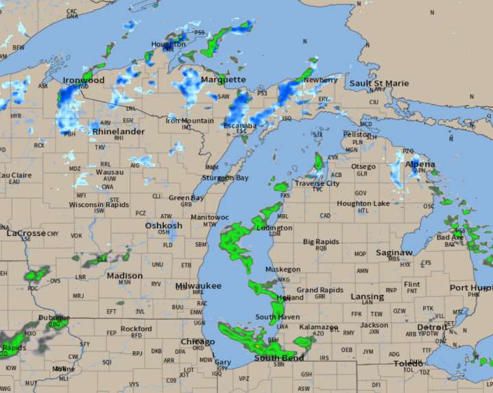
We have our first snowfall total forecast map to show you. It’s not a big snow, but it is the first sticking snow over the coldest part of Michigan.
This isn’t unusual. In fact, it’s pretty much exactly on time compared to historically when the Upper Peninsula sees the first spotty inch accumulations.
Here’s the radar forecast through Saturday morning. Notice the lake-effect rain showers develop on a north wind on Friday. Friday night, as it turns colder after dark, the rain showers change to snow showers over the inland area of the Upper Peninsula. By sunrise Saturday the rain showers could mix with snow at times over northern Lower Michigan, including the Alpena area and even around the Grand Traverse region.
From the looks of the data and the weather situation, you might find a few v

 Reuters US Top
 America News
 Associated Press US and World News Video
 Associated Press Top News
 Rolling Stone
 ABC News
 Daily Voice
 NBC Bay Area Dixon News
 Raw Story