
 Yahoo Canada
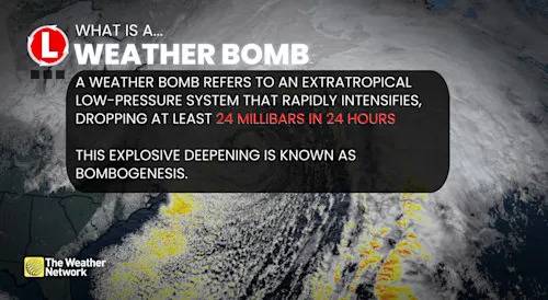
WEATHER HIGHLIGHTS:
*
A rapidly intensifying weather bomb is set to cross Newfoundland by late Tuesday evening
*
Potential for St. John's, N.L., to see a new November low pressure record
*
Eastern Newfoundland will see the strongest winds, with gusts of 90-100+ KM/H, AND MORE THAN 120 KM/H near Sable Island and southeastern coasts, including St. John’s and the Avalon
*
Rainfall of 30-60 MM (LOCALLY HIGHER) is expected across parts of Newfoundland and Cape Breton, N.S.
*
Heightened risk for power outages, downed trees, localized flooding, coastal erosion, and large waves reaching 6-8+ METRES.
[Weather bomb cyclone bombogenesis explainer (NEW FONT)] Weather bomb cyclone bombogenesis explainer (NEW FONT)
RECORD SETTING STORM THREATENS OUTAGES AND TRAVEL IMPACTS THROUGH WEDNESDAY:

 CBC Newfoundland & Labrador
 NBC News NFL
 First Alert 4 Crime
 The List
 LiveNOW from FOX Entertainment
 RadarOnline
 The News Virginian Politics