
 WGCU Public Media
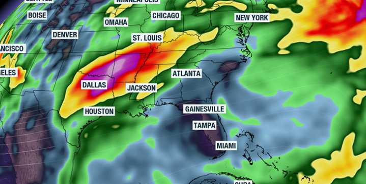
With the main storm track expected to remain well north of the Sunshine State over the next week, warmer and drier conditions will continue to dominate Florida's forecast.
A broad ridge of high pressure is projected to stay in control through much of the pre-Thanksgiving period, helping to lock in temperatures above seasonal norms and limiting opportunities for meaningful rainfall.
Typically, afternoon highs in mid-November range from around 70 degrees across the Panhandle to the 80s in South Florida.
During the upcoming week, temperature anomalies will be most pronounced along the Interstate 10 corridor, where a late-fall heat wave will produce mild overnight lows and daytime highs that running 5 to 10 degrees above average.
Wednesday appears to be the warmest day of the stretch, with

 WABI
WABI KSNB Local4 Central Nebraska
 FOX 5 Atlanta Crime
 KPTV Fox 12 Oregon
 Boston Herald
 The Burlington Free Press
 WBRC
WBRC WNEP
WNEP NBC10 Boston
 Raw Story