
 Bring Me The News
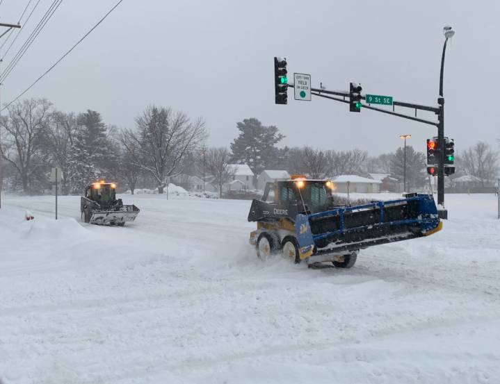
The first major winter storm to affect most of Minnesota arrived on Tuesday, causing major problems on the roads and early school closures.
Snow swept into the west of the state around Tuesday lunchtime and made its way east over the course of the day, continuing through the night and into Wednesday morning.
Below are the latest snow totals from the National Weather Service and the Community Collaborative Rain, Hail and Snow Network (CoCoRAHS).
Update as of 10:30 p.m. Tuesday
7.0 inches – Rothsay, Baxter
6.5 inches – Brainerd
6.3 inches – Pelican Rapids
6.0 inches – Chokio
5.2 inches – Artichoke
5.0 inches – Garfield, Duluth
4.0 inches – Pillager
3.7 inches – Twig
3.0 inches – Grand Rapids
1.8 inches – Chisholm

 Minnesota Public Radio
 CBS Minnesota News
 The Oregonian Public Safety
 The Des Moines Register
 WVLT
WVLT WCTV
WCTV KSNB Local4 Central Nebraska
 AccuWeather Severe Weather
 KTIV News 4
 Cleveland 19 News
 Western Mass
 WGRZ-TV
 Raw Story