
 Coventry Telegraph
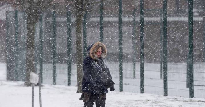
Weather maps have pinpointed the exact date when more snow could hit the UK amid another Arctic blast. Some parts of the UK could see up to seven inches of snowfall as a band of freezing low pressure sweeps across the country from the northwest.
After a brief respite from last week's icy conditions, temperatures are set to plummet again in early December, according to the Mirror.
Forecasters at Metdesk and WX Chart suggest that the next bout of snowfall in the UK is most likely to occur on Saturday, 6th December. The snow showers could continue for several days if temperatures remain low.
Weather maps show white hues as far south as the Cotswolds on the morning of 6th December, with widespread snow predicted for some time, including in Greater Manchester . The thickest white patches

 The Daily Record
 Sunday Express
 Mirror
 Raw Story
 RadarOnline
 The Daily Beast
 Vogue Living
 AlterNet
 NESN
NESN WIRED
WIRED Wilmington Star-News Sports
 The Daily Mash