
 Liverpool Echo
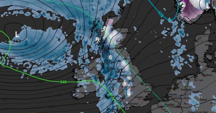
A weather map shows snow is forecast in the next couple of weeks
A weather map reveals the date meteorologists predict the next significant Arctic weather blast. As much as seven inches of snow is forecast when the upcoming wave of freezing low pressure sweeps across the UK from the North West and gradually moves southwards.
Temperatures have risen since last week's cold snap, which saw snowfall reach as far south as London, but the mercury is expected to drop sharply in early December. This will usher in the next bout of snowfall, which Metdesk forecasters suggest is likely on Saturday, December 6, and could linger for a few days afterwards.
Weather maps released by the team depict white shades reaching as far south as the Cotswolds on the morning of December 6, with snow predicted

 The Daily Record
 Manchester Evening News
 Sunday Express
 Raw Story
 RadarOnline
 The Conversation
 WJLA
WJLA The Daily Beast
 Vogue
Vogue AlterNet
 Alliance Review