
 Mirror
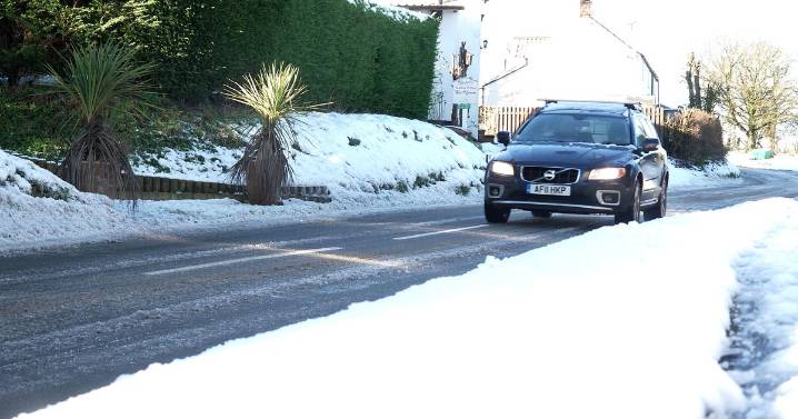
Weather maps show snow is expected again across parts of the UK in the coming days — while freezing rain, described by the Met Office as a "rare phenomenon" is also on the cards
Temperatures are set to tumble again — to as cold as -4C in the coming days — as snow and a "rare weather phenomenon" looms.
Brits will face freezing rain, which the Met Office says at times can bring down trees and power lines, as another band of low pressure sweeps across the country from the north. Where it won't quite be cold enough for snow, the freezing rain — rare type of liquid precipitation — will fall.
Striking weather maps show these wintry showers are likely through Sunday night and into Monday morning, heaviest during the early hours. Snow is anticipated as far south as Greater Manchester ,

 The Daily Express
 WalesOnline Local
 Screen Rant
 AlterNet
 Raw Story
 NFL News