
 KXLY 4 News
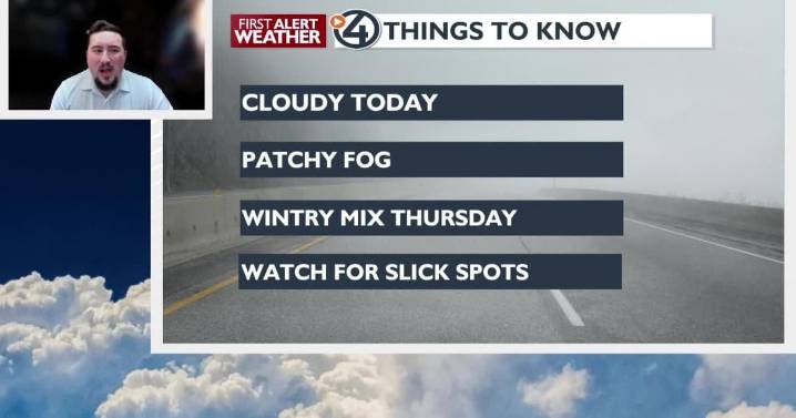
Today will be relatively calm around the Inland Northwest, but another storm will create wintry weather and slick conditions again for Thursday morning.
Plan your Wednesday
Areas of patchy fog may limit visibility on the roads through midday. Cloudy skies will keep temperatures on the cool side, while we remain dry throughout the day.
What We're Tracking
An active weather pattern arrives starting Thursday night into Friday, bringing a mix of rain and snow, with the heaviest snow expected on mountain passes. Precipitation in Spokane and Coeur d'Alene will begin as snow on Thursday morning and switch to a winter mix later in the day. On the West Plains out to the Grand Coulee, freezing rain is possible and would create some slippery road conditions.
Further east in the I-90 corridor, a

 Akron Beacon Journal
 Local News in New Jersey
 Daily Voice
 Associated Press US and World News Video
 The radio station 99.5 The Apple
 NBC 7 San Diego Local
 KSNB Local4 Central Nebraska
 IndyStar
 CNN Climate
 The Oregonian Public Safety
 Mediaite