
 WBIR Channel 10
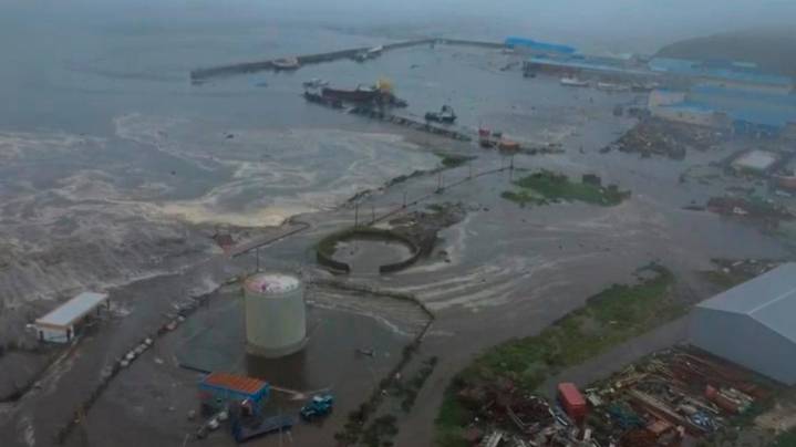
WASHINGTON — A NASA satellite captured the first detailed, overhead view of a giant Pacific tsunami, and scientists are now sharing how it offers a new look at how tsunamis move across the ocean.
In a new study published in The Seismic Record, researchers discussed findings after NASA’s Surface Water and Ocean Topography (SWOT) satellite recorded the tsunami generated by the magnitude 8.8 earthquake off Russia’s Kamchatka Peninsula on July 29, 2025. The earthquake was one of the strongest reported worldwide since 1900, and sent waves across the Pacific Ocean
Until now, tsunami tracking has largely relied on sparse Deep-ocean Assessment and Reporting of Tsunamis (DART) buoys, which measure waves at single points. The SWOT satellite instead mapped a wide range of the sea’s surface, revea

 Green Bay Press-Gazette
 MyNorthwest
 The Spokesman-Review
 Everett Herald News
 The radio station 99.5 The Apple
 The Seattle Times
 The Daily Beast