
 WKOW 27
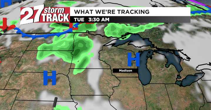
Download the 27 StormTrack Weather app to receive mobile weather alerts
Patchy morning fog will lift quickly, giving way to mostly sunny skies and highs near the upper 70s across south-central and southwestern Wisconsin. A cold front approaches late Tuesday night into Wednesday, bringing widespread showers and a few thunderstorms. Confidence is high in rain for the Wednesday morning/midday window; severe potential looks low, but brief downpours are possible.
Behind the front, much cooler air spills in: highs fall to the low 60s Thursday and stay below normal into Friday. Overnight lows dip into the 40s, especially in rural valleys. A secondary disturbance may clip the region Thursday night into early Friday with scattered showers before brighter, cool sunshine returns into the weekend.

 CBS News
 Las Vegas Review-Journal
 NECN Providence
 KPTV Fox 12 Oregon
 Reuters US Domestic
 Local News in California
 Distractify
 FOX 32 Chicago Sports