
 Gazette
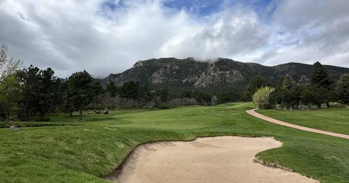
A chance for showers and storms are possible across the Pikes Peak Region Tuesday, but storms will be very "hit or miss in nature," according to Gazette news partner KOAA.
Rain will likely not hit the Interstate 25 corridor until much later in the day, possibly not even until the evening, according to KOAA Meteorologist Alan Rose. Storms on the eastern Plains will bring the potential for one-inch hail and wind gusts up to 60 mph.
Tuesday's temperatures will feature more seasonal warmth, with highs near 84 degrees, according to the National Weather Service in Pueblo. Tuesday night temperatures will drop to around 54 degrees.
For Wednesday and Thursday, most rainfall should be closer to the mountains and foothills due to more dry, stable air, Rose said.
"Each afternoon, it's possible tha

 CBS Colorado
 Denver7 News
 The Denver Post
 New York Post Media
 Salon
Salon