
 WWSB
WWSB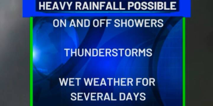
SARASOTA, Fla. (WWSB) -A weak low-pressure system over the Gulf is drifting west, while a stalled front remains stretched across north Florida. The combination is keeping deep moisture locked in, fueling scattered to widespread showers and thunderstorms across much of the state.
By Thursday, a shift begins. High pressure building over the eastern U.S. will nudge the front south. Northeast winds will carry drier air into the Nature Coast, trimming storm chances there, even as the I-4 corridor and points south continue to see frequent downpours.
Friday marks another step in the pattern change. The boundary drops into south Florida, with drier air pushing farther down the peninsula. Storms won’t vanish, but coverage will shrink—about 30 percent coverage over the Suncoast.
The weekend and e

 FOX 13 Tampa Bay Crime
 AlterNet
 First Coast Crime
 WFMJ-TV
 RadarOnline
 NBC 6 South Florida
 Raw Story