
 KWTX News 10
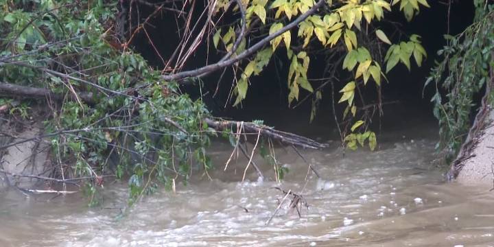
FALLS COUNTY, Texas (KWTX) - Falls County has their first ever floodplain map in the works.
Back in the early 2000s, the county wanted to draw one up but didn’t have the money to get one done.
Flash forward to just a couple of years ago, the county got a grant from the Texas Water Development Board that would cover the costs. Since, they have been working on many draft maps to determine how to protect the county best.
“They’ve done all the engineering. We’re just finalizing the report to get a final floodplain map so we can release that to the public,” says Falls County Judge Jay T. Elliott.
The Brazos River and Big Creek both run through parts of Falls County and both are known to have their fair share of flooding.
The maps are a rough draft and are not available for viewing yet. Rec

 KDKA
KDKA AlterNet
 Daily Press Sports
 OK Magazine
 Reuters US Top
 New York Post Video
 CBS News
 Space War