
 Desert Sun News
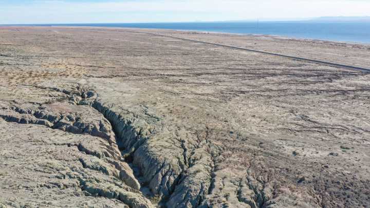
A California Geological Survey map released earlier this year depicts just how intense and damaging the shaking from future earthquakes will be across the state, revealing where the threat is most critical — and reminding that people can prepare.
Using calculations from a U.S. Geological Survey model, the potential shaking depicted in the map released in July is not from one future earthquake, but “what an area could experience over the course of time.” The earthquake shaking potential is represented by the Modified Mercalli Intensity Scale, which measures the intensity or the effects experienced of an earthquake, according to USGS .
“Every earthquake has one magnitude (the amount of energy released by the earthquake) but can generate many different intensities of earthquakes shaking

 FOX 13 Tampa Bay Crime
 America News
 Reuters US Top
 WMBD-Radio
 AccuWeather Severe Weather
 AlterNet
 Slate Magazine