
 WTNH News 8
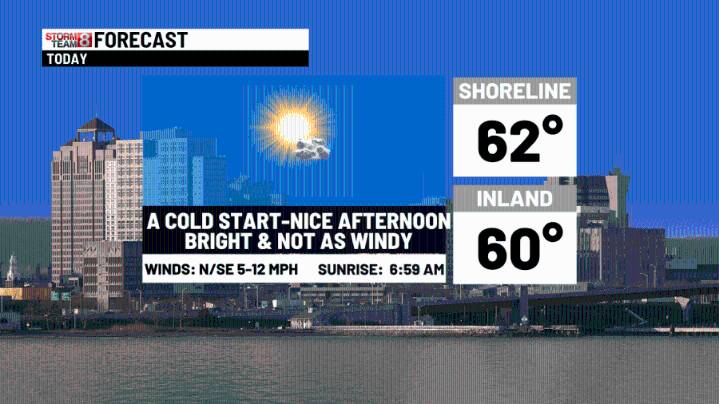
A Freeze Warning is up for most of the state with a Frost Advisory along the shoreline! A nice afternoon ahead with bright skies and temps up a few degrees over yesterday afternoon. Low pressure will develop off the coast of the Carolinas and move slowly north to the New Jersey coast through Sunday. Strong East & Northeast winds will drive high tide levels higher than usual with flooding & could also create some power outages with lots of green leaves still on trees. A Coastal Flood Watch is up for the tidal flooding.
Tropical Storm Jerry will make the closest pass the the Leeward Islands today. It will likely strengthen into a hurricane as it moves out to sea.
Today: A cold start to a nice afternoon with sunny skies & highs in the upper 50s to lower 60s.
Tonight: Passing clouds with lo

 KWQC
KWQC Sarasota Herald-Tribune
 The Spokesman-Review
 K2 Radio Local
 KOMU 8
 Star Beacon
 KPTV Fox 12 Oregon
 WCNC Charlotte Weather
 New Jersey News
 AlterNet