
 WREX
WREX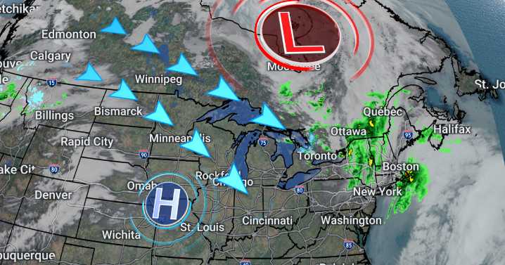
The sunny, breezy, and seasonably warm start to the week will hang on for the most part until a cold front messes things up later this week.
An increase in cloud cover overnight will leave us with a mostly cloudy morning on Tuesday, but the clouds will part in the afternoon leaving us with a similar end to the day as Monday. Highs warm to the low 60s with a brief period of 20-30 mph wind gusts setting up an elevated brush fire danger in the afternoon.
After another sunny and warm day near 60° on Wednesday, we'll see a cloudier day on Thursday ahead of an approaching cold front. That front likely brings a swath of rain ahead of a nosedive in temperatures for the weekend.
Thursday night and early Friday morning appears likely to see some soaking rain showers, leading to a soggy start to F

 WLFI News 18
 Eyewitness News 3
 KTLA
KTLA FOX 13 Seattle King County
 KPAX
KPAX K2 Radio Local
 FOX 13 News
 KKTV 11 News
 Florida Today
 KPLC
KPLC SIAdvance
 AlterNet