
 FOX 5 San Diego
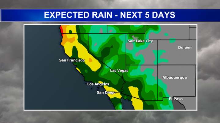
SAN DIEGO (FOX 5/KUSI) - It is feeling like summer weather across the region as high pressure dominates Monday afternoon, but a big pattern switch-up will bring much cooler temps, clouds, and rain by the end of the work week.
Afternoon temperatures Monday were running 10 to 12 degrees above average as a ridge of high pressure has strengthened over the weekend. This will start to weaken as a Pacific storm pushes to the coast and ushers in stronger onshore flow.
Areas of dense fog are possible again Tuesday morning along the I-5 corridor and into portions of the western valleys so watch out for lower visibility on the roadway and flight delays again.
Tuesday marks the start of our cooling trend, but the afternoon will still be pleasant and warm, with low 70s expected on the coast and low

 Associated Press US News
 People Crime
 KTVU San Francisco
 CBS Sacramento CBS13
 FOX 13 Seattle Crime
 NBC Southern California Local
 Desert Sun News
 FOX 11 California
 The Daily Beast